What are political maps?
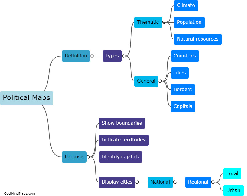
Political maps are visual representations that depict the boundaries and divisions of countries, states, cities, and other political entities. Their primary focus is to show the political organization of a region or country by highlighting administrative divisions, such as national borders, provincial boundaries, and capitals. Political maps provide a clear overview of the distribution of power and governance within a specific area, facilitating the understanding of the political structure and allowing individuals to identify and locate different political units. By providing a visual representation of political boundaries, political maps serve as essential tools for understanding and analyzing political systems, elections, and geopolitical relationships.
This mind map was published on 9 October 2023 and has been viewed 102 times.
