What types of data can be analyzed with GIS?
GIS can be used to analyze a wide range of data types including demographic data, environmental data, transportation data, social data and location-based data. For instance, GIS can be used to analyze population data to understand the demographics of a specific area. Similarly, it can help to analyze transportation data to find the shortest and quickest routes between two locations. It can also be used to analyze environmental data to understand the effects of pollution. In addition, GIS can be used to analyze social data to understand patterns of behavior and preferences. All of these analyses can be carried out through the use of maps, graphs, and charts.
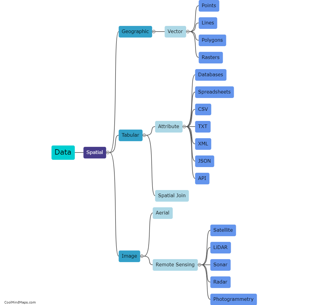
This mind map was published on 18 May 2023 and has been viewed 107 times.
