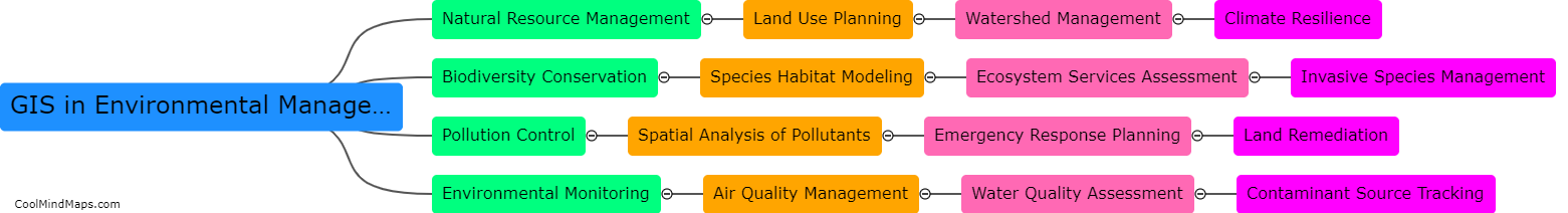
How is GIS used in natural resource management?
GIS is a valuable tool in natural resource management as it allows professionals to collect, manipulate, analyze, and visualize data, which is critical in decision-making. By using maps and geospatial data, GIS provides a way to monitor and manage natural resources such as forests, water, wildlife, and land use. GIS assists in identifying areas with the highest ecological value, enabling the conservation of key wildlife habitats and natural resources. Additionally, it aids in assessing the risk of natural disasters and identifying potential threats to the environment, which can help in planning and response strategies. GIS helps to improve the effectiveness of natural resource management practices by providing a comprehensive understanding of the landscape and the factors that impact it.

This mind map was published on 21 May 2023 and has been viewed 119 times.