What is the geographical location of the Bundelkhand Plateau?
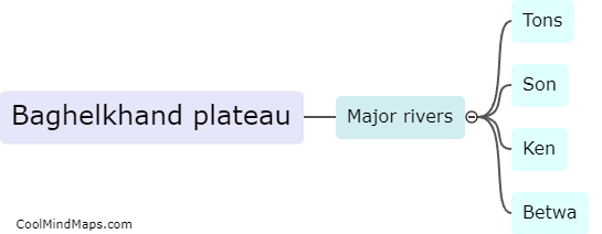
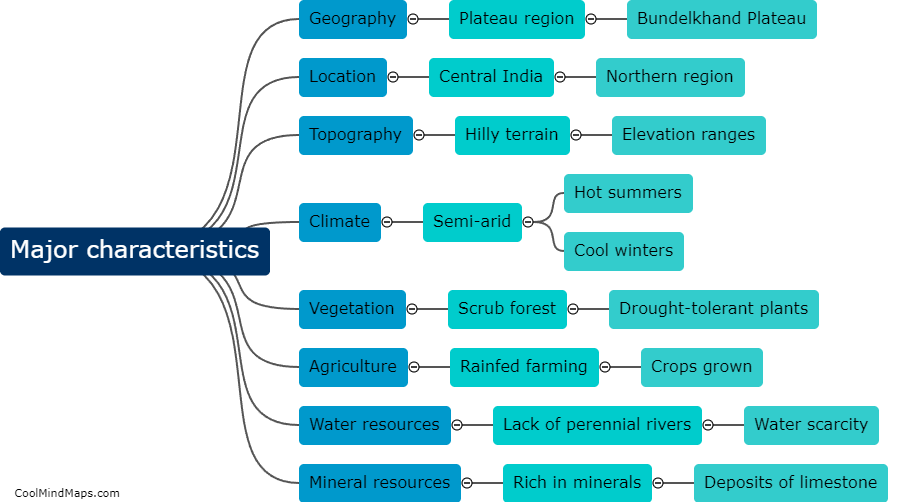
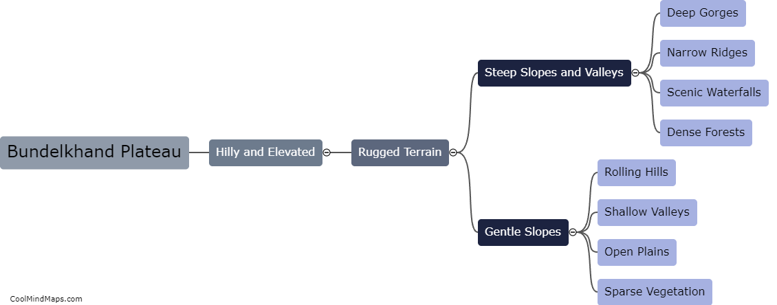
The Bundelkhand Plateau is located in central India, specifically in the northern part of the Deccan Plateau. It covers parts of the states of Uttar Pradesh and Madhya Pradesh. Geographically, it is bounded by the Yamuna River on the north, the Ken River on the west, and the Son River on the south. The plateau is characterized by its undulating topography, with low hills, deep valleys, and dry riverbeds. Its central location in India gives it a diverse climate, with hot summers and cool winters. Historically, the Bundelkhand Plateau has been an important region, witnessing the rise and fall of various dynasties. The region is also known for its rich cultural heritage and historical monuments.

This mind map was published on 1 February 2024 and has been viewed 216 times.