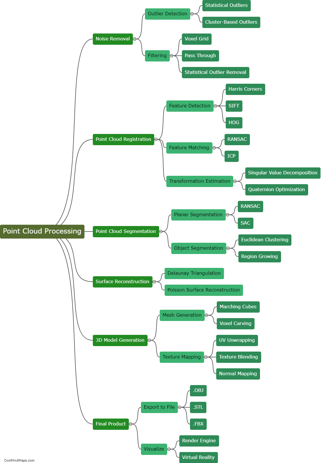
How is the raw data converted into point cloud format?
The process of converting raw data into point cloud format involves several steps. First, the raw data is typically captured using sensors such as LiDAR or photogrammetry cameras. These sensors collect information about the surrounding environment in the form of individual measurements, such as the distance to objects or the color of pixels. Once collected, the raw data goes through a process called data processing, where it is organized and filtered to remove any unwanted noise or outliers. Next, the processed data is transformed into a coordinate system, aligning the measurements with a common reference point. This step ensures that the point cloud accurately represents the spatial location of the objects. Finally, the processed and transformed data is stored in a point cloud format, typically using a file format like LAS or PLY. This format allows for easy visualization, analysis, and manipulation of the 3D point cloud data.

This mind map was published on 13 November 2023 and has been viewed 98 times.