What are the applications of geospatial AI in agriculture?
Geospatial AI, or artificial intelligence, has numerous applications in the field of agriculture. By combining geospatial data, such as satellite imagery, with AI algorithms, farmers can efficiently manage their crops and enhance overall productivity. One application is crop monitoring, where geospatial AI enables the identification and analysis of crop health conditions, allowing for quick interventions to address issues like pests, diseases, or nutrient deficiencies. Additionally, geospatial AI can optimize resource allocation through precision farming techniques. By analyzing field data and geospatial information, farmers can apply targeted irrigation, fertilizer, and pesticide applications, reducing costs and minimizing environmental impact. Furthermore, geospatial AI can aid in yield prediction by analyzing historical and real-time data to provide crop yield estimates, assisting farmers in making informed decisions regarding harvesting and selling their produce. Overall, the integration of geospatial AI in agriculture enables farmers to make evidence-based decisions, improve yields, and optimize resource utilization for sustainable and efficient farming practices.
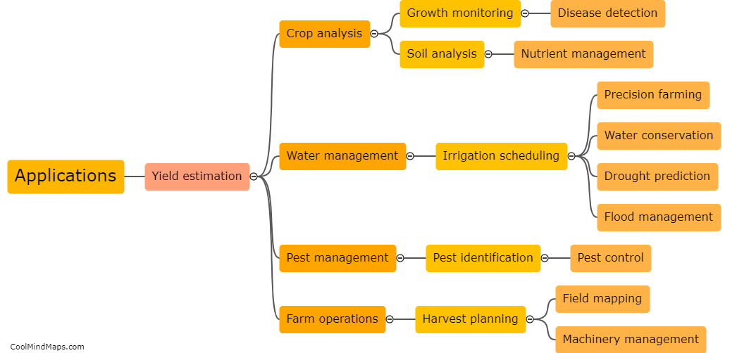
This mind map was published on 25 January 2024 and has been viewed 92 times.
