What is the geographical location of the Central Highlands?
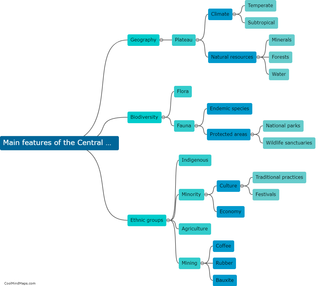
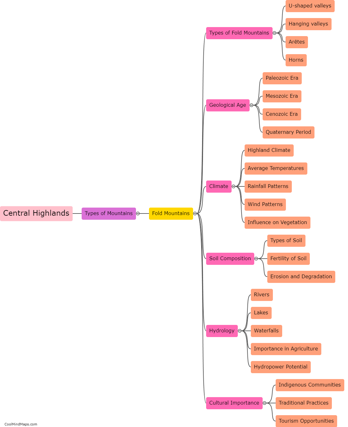
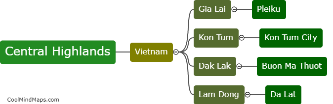
The Central Highlands is a region located in the central part of Vietnam. It is primarily situated in the northern central coastal region, covering the provinces of Kon Tum, Gia Lai, Dak Lak, Dak Nong, and Lam Dong. The region is characterized by its mountainous terrain, relatively high altitude, and lush forests. It is bordered by the Truong Son mountain range to the east, the South Central Coast to the east and south, and the Central Lowlands to the north and west. The Central Highlands' geographical location gives it a unique climate and abundant natural resources, making it an important agricultural and tourism area in Vietnam.

This mind map was published on 1 February 2024 and has been viewed 122 times.