How do you collect data during a geophysical survey?
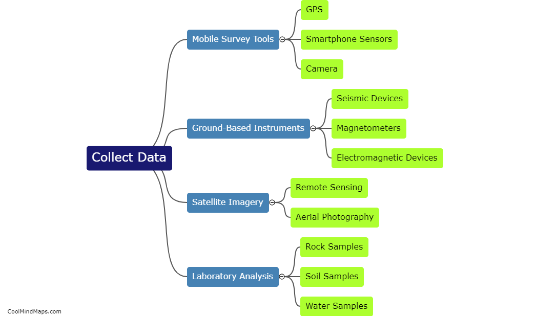
During a geophysical survey, data is collected using various methods and instruments. One commonly used technique involves the use of sensors or instruments that are deployed on the ground or in the air. These sensors measure different physical properties or phenomena, such as magnetic fields, electrical resistivity, seismic waves, or gravity, depending on the objective of the survey. The collected data is typically recorded digitally and can be obtained by either direct or indirect methods. Direct methods involve physically contacting or engaging the sensors with the ground or subsurface, while indirect methods include remote sensing techniques such as aerial surveys or satellite-based measurements. The acquired data is then processed and analyzed to create detailed maps or models of underground structures, geological formations, or other desired information.
This mind map was published on 29 November 2023 and has been viewed 91 times.


