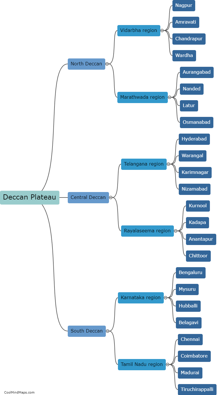
Different regions of Deccan Plateau?
The Deccan Plateau is a vast, triangular plateau located in the southern part of India. It is divided into several distinct regions, each with its unique geographical features and cultural diversity. The Western Ghats Mountain Range flanks the western edge of the plateau and is known for its lush green forests, cascading waterfalls, and wildlife sanctuaries. The Eastern Ghats, on the other hand, form the eastern boundary and are characterized by rocky hills, deep valleys, and ancient temples. The central part of the Deccan Plateau is covered with black soil, making it highly fertile for agriculture. This region is known as the Deccan Plains and is dotted with rivers, lakes, and agricultural fields. Towards the south, lies the Deccan Plateau's plateau interior region, featuring rolling hills, plateaus, and volcanic rock formations. This area is renowned for its historic cave temples, such as the Ajanta and Ellora caves. Each region of the Deccan Plateau offers a unique blend of natural beauty, historical significance, and cultural richness.
This mind map was published on 1 February 2024 and has been viewed 98 times.


