How does GIS work?
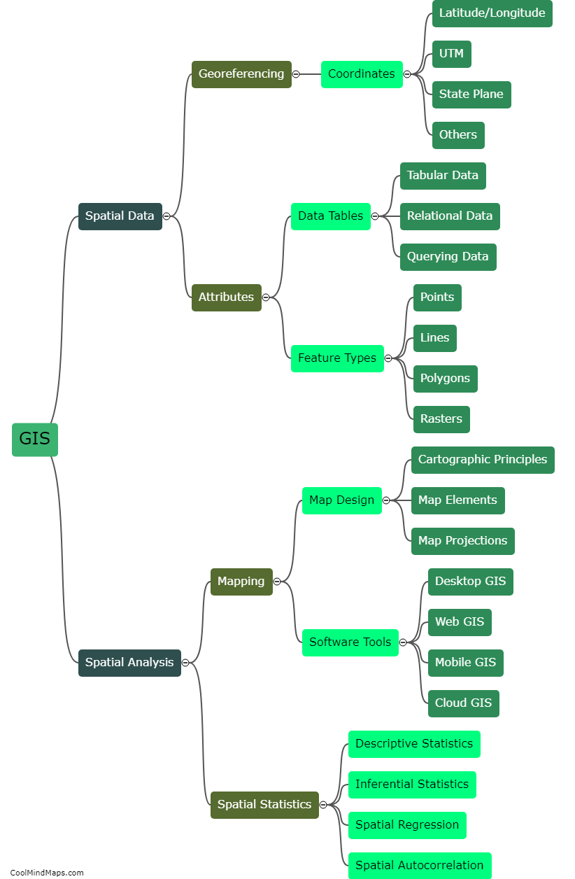
Geographic Information System (GIS) is a computer-based system that captures, stores, manages, analyzes, and presents data that is related to physical or geographical locations. GIS works by using layers of spatial data, which are represented as maps or graphics that can be created, edited, analyzed, and shared. These layers typically consist of different types of data, such as satellite imagery, survey data, census data, and topographic maps. By combining these layers, GIS allows users to visualize complex relationships between different types of data, making it an essential tool for urban planning, environmental management, and emergency response.

This mind map was published on 18 May 2023 and has been viewed 119 times.