How does the Indian Ocean shape the maritime boundaries of India?
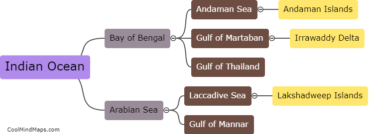
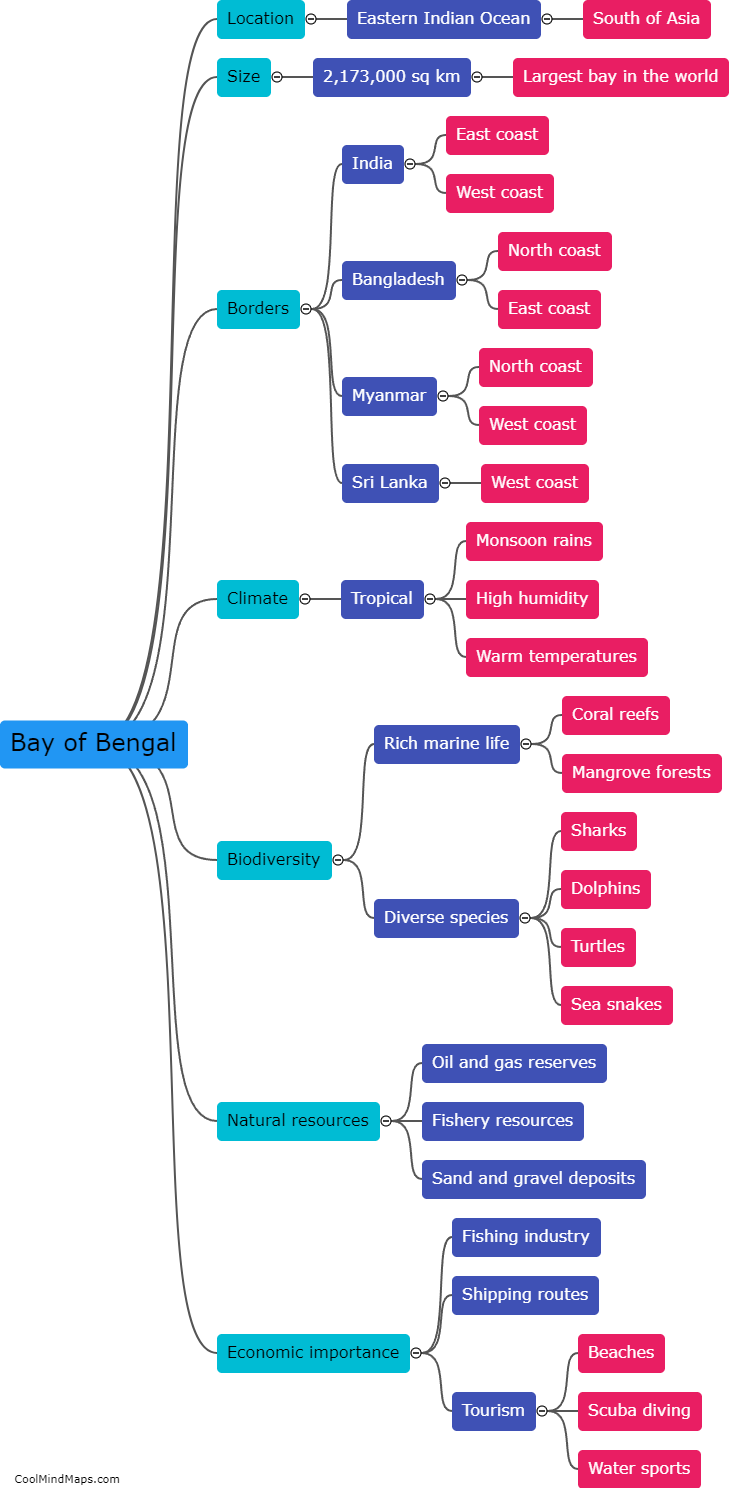
The Indian Ocean plays a crucial role in shaping the maritime boundaries of India due to its strategic location. As a predominantly peninsular country, India is surrounded by the Indian Ocean on three sides, which largely determines its maritime borders. The ocean serves as a natural boundary and has a significant influence on India's territorial claims and Exclusive Economic Zone (EEZ). India's maritime boundaries are delineated by various factors, including geological features like the continental shelf and underwater ridges, as well as historical and political considerations. The Indian Ocean also has a vital role in India's trade and security, making it imperative for the country to define and protect its maritime boundaries within the region.

This mind map was published on 6 February 2024 and has been viewed 90 times.