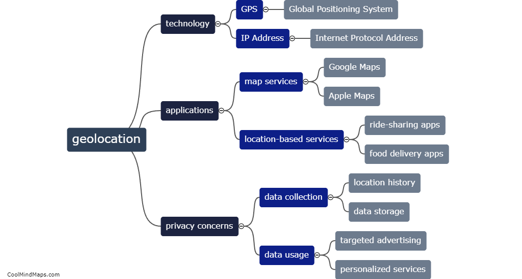
Why is it important to analyze hypertension with geolocation?
Analyzing hypertension with geolocation is important for several reasons. Firstly, geolocation data can provide valuable insights into the spatial distribution and prevalence of hypertension in different regions. This enables healthcare practitioners and policymakers to identify areas with high rates of hypertension and allocate resources more effectively. It also helps in targeting interventions and developing tailored public health strategies for specific geographic regions. Secondly, geolocation analysis can help identify potential environmental factors that may contribute to hypertension, such as pollution or access to healthcare facilities. By understanding these factors, preventative measures can be implemented to reduce the risk of hypertension development. Additionally, geolocation data can be used in research studies to identify patterns and trends, contributing to a better understanding of the disease and potential risk factors. Overall, geolocation analysis of hypertension plays a crucial role in informing public health policies, improving healthcare planning, and promoting better prevention and management strategies.

This mind map was published on 30 November 2023 and has been viewed 96 times.