What is the purpose of a geophysical survey?
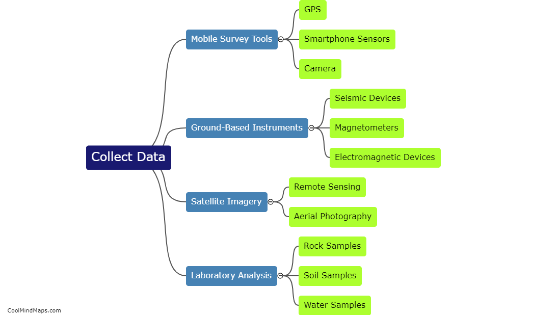
The purpose of a geophysical survey is to understand the subsurface characteristics of a location or region. These surveys utilize various techniques and instruments to measure and map different physical properties of the subsurface, such as variations in magnetic fields, electrical conductivity, gravity, or seismic waves. By gathering this data, geophysicists can identify and delineate underground structures, such as minerals, rocks, water bodies, oil and gas reserves, faults, or archaeological features. The information obtained from a geophysical survey is crucial in a wide range of industries, including mining, infrastructure development, environmental assessment, geotechnical engineering, and oil and gas exploration, as it helps in making informed decisions regarding resource exploration, construction planning, and risk assessment.

This mind map was published on 29 November 2023 and has been viewed 86 times.

