What equipment is needed for a geophysical survey?
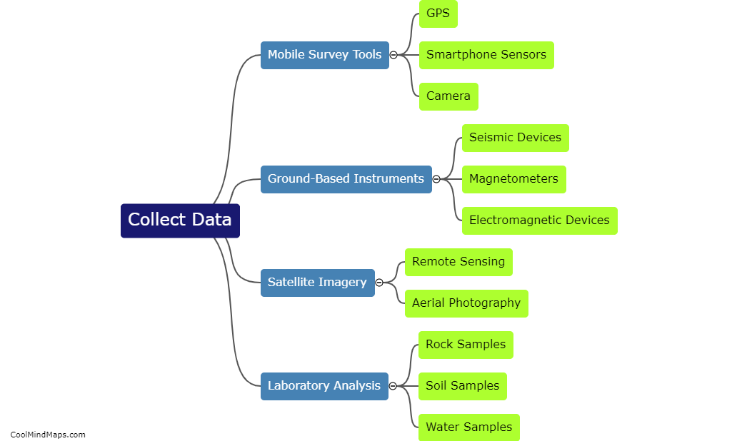
In a geophysical survey, various equipment is required to gather accurate and detailed information about the subsurface. The essential tools include a magnetometer, which measures the Earth's magnetic field and provides data on magnetic anomalies; a ground-penetrating radar (GPR) that uses radar pulses to map subsurface structures and features; seismographs used to record ground vibrations and seismic waves; an electrical resistivity meter for measuring the resistance of the ground to an electrical current; and gravimeters able to detect variations in gravity caused by density differences underground. Additionally, a GPS system is commonly used for accurate positioning, and computers are vital to process and interpret the collected data. Depending on the specific survey objectives, additional equipment like magnetotelluric instruments or electromagnetic sensors may also be used.

This mind map was published on 5 December 2023 and has been viewed 71 times.