How is the Central Highlands classified based on its geographical characteristics?
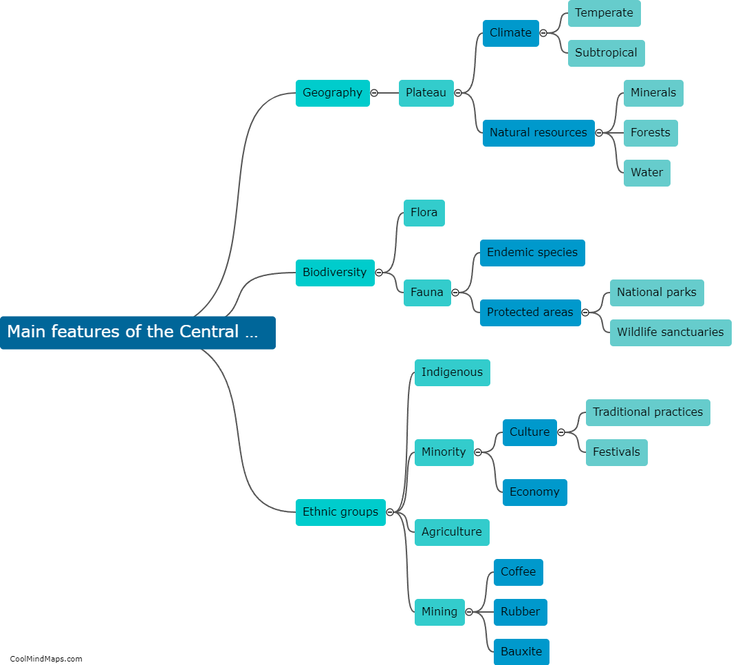
The Central Highlands is a geographic region that is classified based on its distinct geological and physical characteristics. It is generally characterized by its elevated terrain, ranging from 800 to 1,600 meters above sea level, making it a highland area. The region is mainly composed of plateaus and mountains, such as the Annamese Cordillera and the Truong Son Range. It is also known for its numerous rivers, including the Mekong, Dong Nai, and Srepok, which provide fertile land for agriculture. The Central Highlands is further divided into sub-regions based on their unique topography and natural features, such as the Dalat Plateau and the Kon Tum Plateau. Overall, the Central Highlands' classification is primarily based on its high altitude, mountainous landscape, and diverse river systems.

This mind map was published on 1 February 2024 and has been viewed 108 times.