What are the types of geospatial data used in analysis?
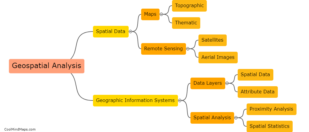
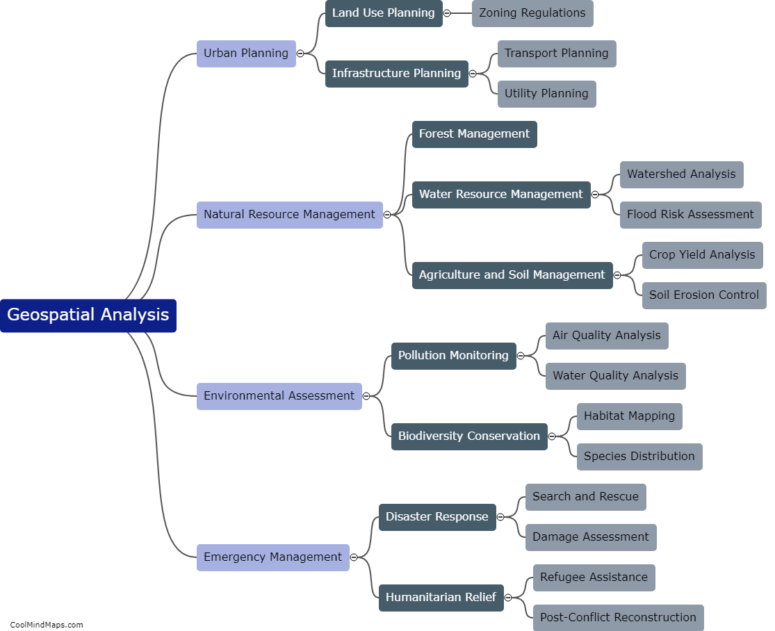
Geospatial data is any data that has a location component attached to it. There are different types of geospatial data that can be used in analysis, including vector data, raster data, and elevation data. Vector data represents features as points, lines, and polygons and can be used for mapping and analysis, such as tracking patterns of movement or identifying the location of specific objects. Raster data is made up of pixels and can be used to create maps and analyze satellite imagery. Elevation data is used to create 3D models of the earth's surface and can be used to analyze topography, slope, and drainage patterns. These data types can be combined and analyzed together to understand spatial relationships and patterns that would not be visible in other types of data analysis.

This mind map was published on 21 May 2023 and has been viewed 103 times.