What is the geography of the Chotanagpur plateau?
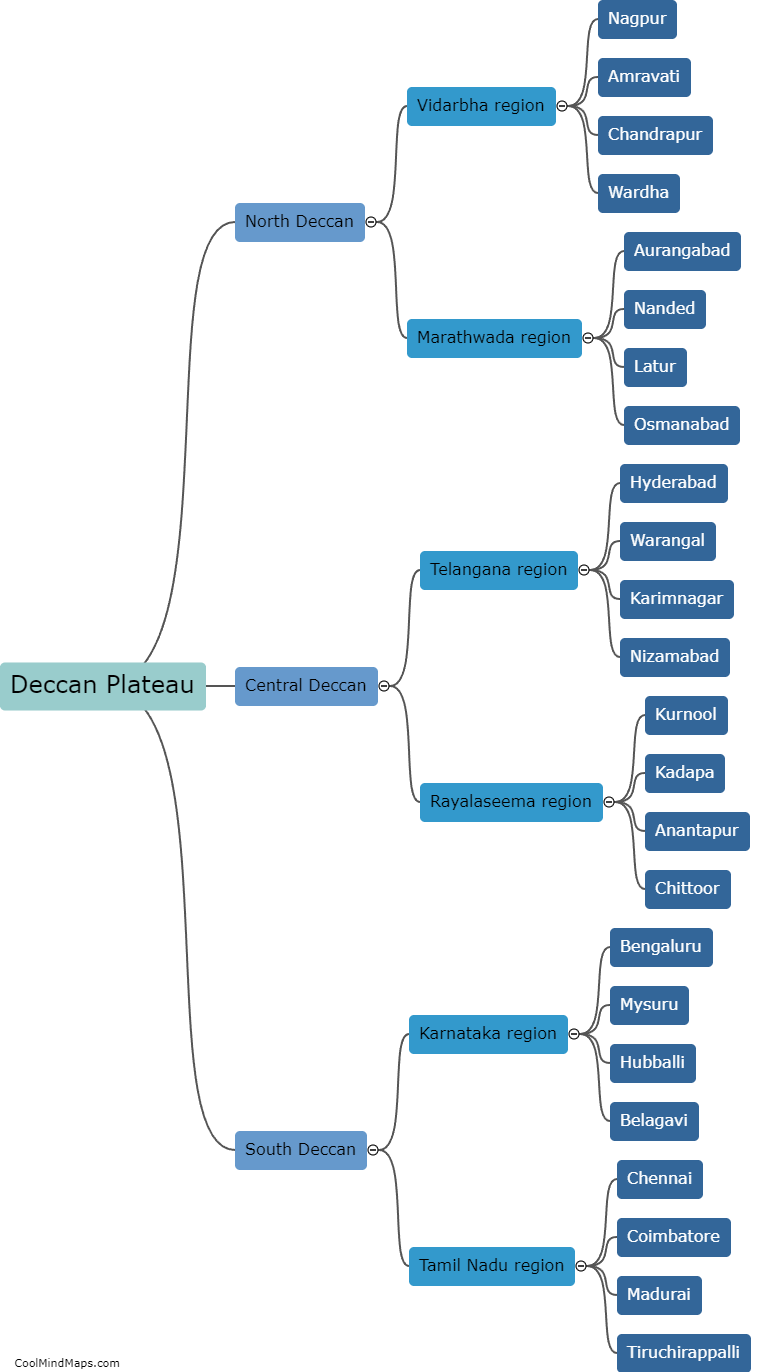
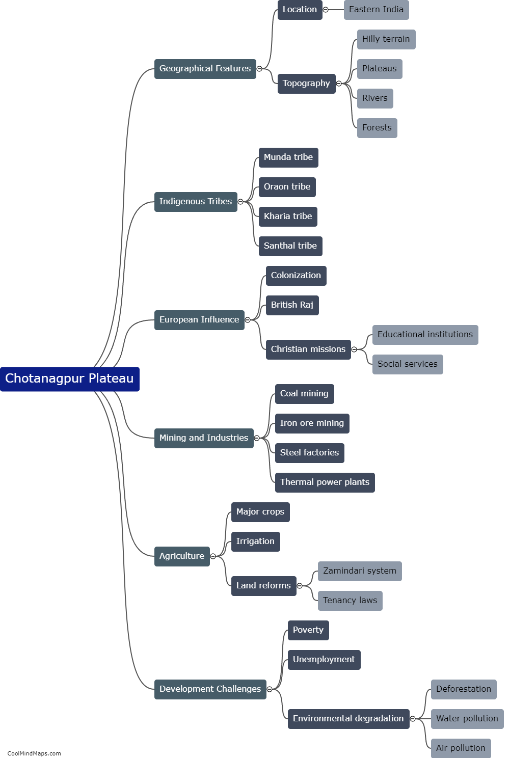
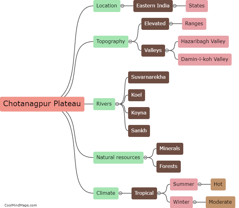
The Chotanagpur plateau is a geographically diverse region located in eastern India, spanning parts of Jharkhand, Bihar, Odisha, and West Bengal. It is characterized by its rolling hills, plateaus, and valleys. The plateau's terrain is primarily covered by forests, with pockets of grasslands and agricultural fields. The region is rich in natural resources, including coal, iron ore, bauxite, and limestone, which have contributed to its economic significance. The Chotanagpur plateau is intersected by several rivers, including the Damodar, Subarnarekha, and Brahmani, which provide water for irrigation and support the livelihoods of the local population. The region's geographical features, with its fertile soil and moderate climate, make it suitable for agriculture, with crops such as rice, wheat, pulses, and maize being cultivated here. Overall, the geography of the Chotanagpur plateau is diverse and plays a crucial role in the region's economy and livelihoods of its inhabitants.
This mind map was published on 1 February 2024 and has been viewed 82 times.
