How does the topography of the Bundelkhand Plateau look like?
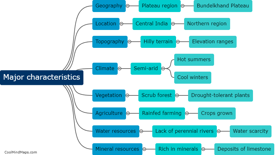
The Bundelkhand Plateau is characterized by a diverse topography that ranges from flat plains to hilly terrains. Located in central India, it covers parts of the states of Uttar Pradesh and Madhya Pradesh. The plateau is primarily composed of sedimentary rocks like sandstone and shale, resulting in a relatively flat landscape in some areas. However, it also features several isolated hills, ridges, and valleys that add to its unique topography. The Vindhyachal and the Satpura mountain ranges border the plateau, further enhancing its scenic beauty. Overall, the Bundelkhand Plateau showcases a captivating blend of flat plains, undulating hills, and picturesque valleys, making it an intriguing destination for nature enthusiasts.

This mind map was published on 1 February 2024 and has been viewed 174 times.