What is the length of the India-Bhutan border?
The India-Bhutan border is approximately 699 kilometers long. It stretches from the tri-junction of India, Bhutan, and China in the northern part of Bhutan's Haa district to the southeasternmost part of Bhutan's Samdrup Jongkhar district. The border is marked by the Himalayan mountain range and consists of diverse terrains, including rugged mountains, dense forests, and river valleys. The boundary between the two countries is well-defined and is guarded by border security forces from both India and Bhutan to ensure territorial integrity and promote peaceful relations between the two nations.

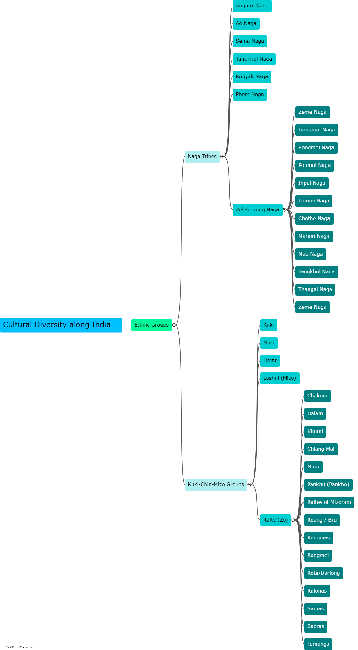
This mind map was published on 5 February 2024 and has been viewed 130 times.


