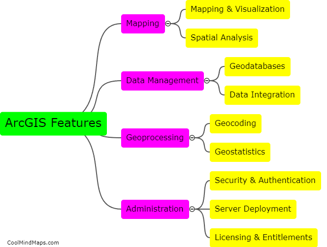
What are the features of arcGIS?
ArcGIS is a powerful geographic information system software that offers various features that make it a go-to tool for mapping, analyzing and managing spatial data. Some of its features include comprehensive data management capabilities, advanced geoprocessing tools, visualization and mapping tools, 3D GIS analysis capabilities, an expansive online community, and integration with other software tools such as Microsoft Office, Python, and R. Additionally, ArcGIS has mobile apps that make it easy to access and share data in real-time. Overall, the many features of ArcGIS make it a versatile tool that is appreciated by both professionals and beginners in the GIS industry.
This mind map was published on 22 May 2023 and has been viewed 98 times.
