What are the tools and techniques used in geospatial analysis?
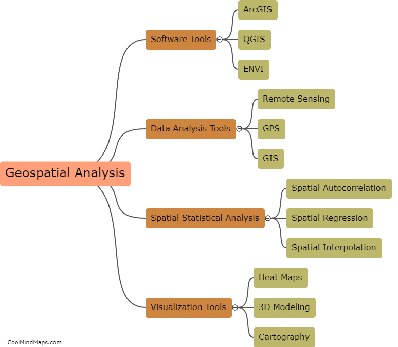
Geospatial analysis is a methodology used in geography, mapping, and other related fields to study, analyze, and interpret different types of geographic data. Various tools and techniques are used for geospatial analysis, including geographic information systems (GIS), remote sensing, cartography, and spatial statistics. GIS allows users to map and analyze spatial data using various layers and attributes, while remote sensing provides information on the Earth's surface through satellite and other aerial imagery. Cartography is used for creating maps, charts, and other types of visualizations, while spatial statistics help in analyzing patterns and relationships between different variables. Other tools and techniques include global positioning systems (GPS), web mapping, and data visualization software.
This mind map was published on 21 May 2023 and has been viewed 101 times.
