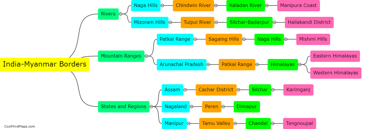
What are the geographical features of the India-Myanmar borders?
The India-Myanmar border stretches for approximately 1,643 kilometers, passing through a diverse range of geographical features. In the eastern part, the border is dominated by the Patkai Range, which starts from the north near the Hkakabo Razi mountain and gradually descends to the south. The range is covered with dense forests, making it a challenging terrain to navigate. Moving westwards, the border follows the Chindwin river, which flows through the hilly and mountainous regions of Manipur and Nagaland. The Chin Hills form a significant topographic feature along this stretch. Further to the west, the border passes through more plains and valleys, with the Manipur River flowing parallel to it. Overall, the India-Myanmar border showcases a blend of mountains, valleys, rivers, and forests, contributing to its diverse and picturesque geographical makeup.
This mind map was published on 5 February 2024 and has been viewed 120 times.


