What are the types of GIS data?
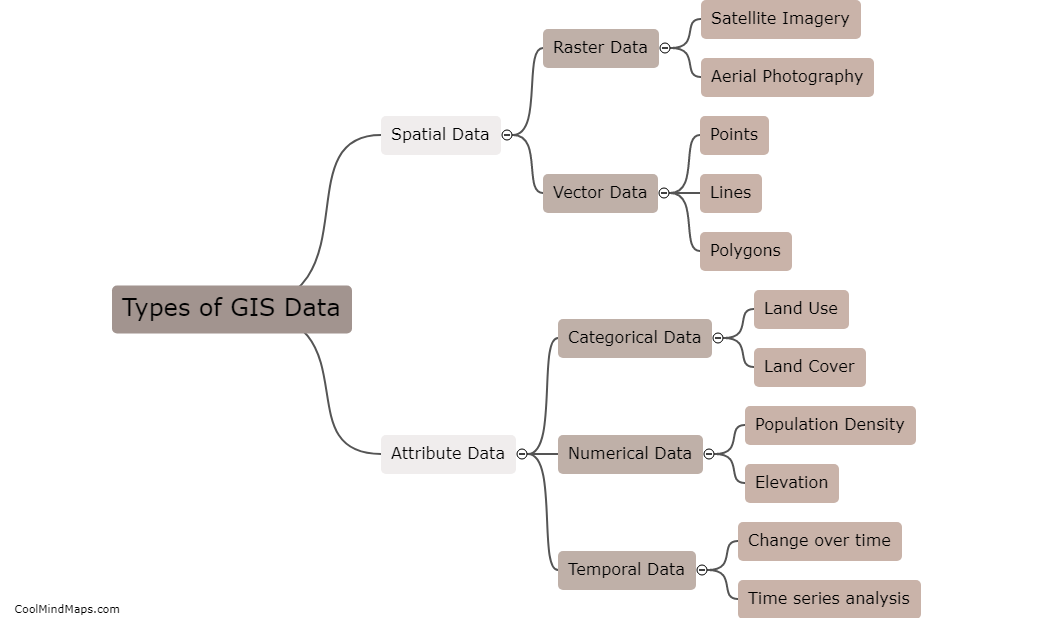
GIS data can be divided into two main types: spatial data and attribute data. Spatial data refers to the physical location and shape of features, such as points, lines, and polygons. This type of data is often represented on maps and is captured using various methods such as GPS receivers. Attribute data, on the other hand, includes information about these features such as names, descriptions, and other characteristics. This type of data is often stored in tables and databases and can be analyzed using various GIS tools. Other types of GIS data include satellite imagery, aerial photography, and LiDAR data.

This mind map was published on 18 May 2023 and has been viewed 94 times.


