How can remote sensing be used for SDGs?
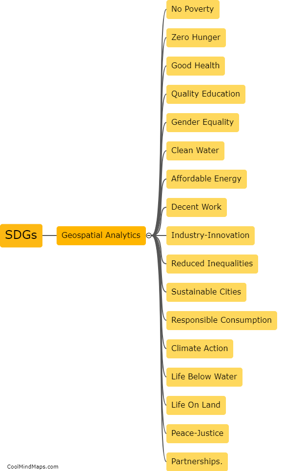
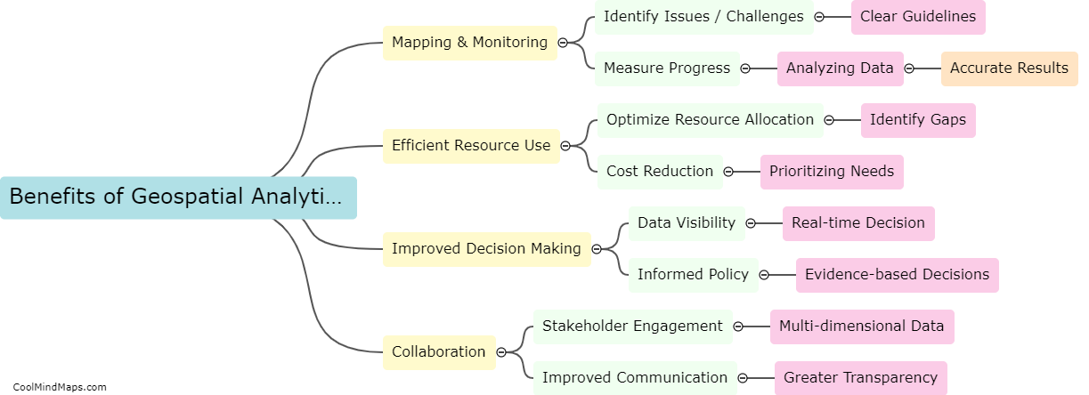
Remote sensing is a valuable tool that can be used for achieving the Sustainable Development Goals (SDGs). Remote sensing technology can provide information on the state and changes of natural resources and land use, which can help in determining the progress of SDGs related to climate change, biodiversity conservation, land degradation, and water management. It can also provide insights into food security, urbanization, disaster risk reduction, and sustainable energy. With the help of remote sensing, policymakers and stakeholders can access valuable data and monitor progress towards achieving SDGs, thereby facilitating a more effective decision-making process. Furthermore, remote sensing technology can enhance the transparency, accountability, and accessibility of information, which can help in promoting sustainable development.

This mind map was published on 19 May 2023 and has been viewed 119 times.