What are GIS applications?
GIS applications refer to the various ways in which geographic information systems (GIS) are used to analyze, interpret, and present spatial data. These applications can be found in diverse fields such as urban planning, emergency response, environmental science, natural resource management, tourism, agriculture, and transportation. GIS applications help researchers, planners, and decision-makers to better understand and visualize complex spatial relationships and patterns, which can lead to more informed and effective decision-making. GIS software enables users to manipulate and analyze data sets by overlaying multiple types of data, creating custom visualizations, and performing complex calculations.
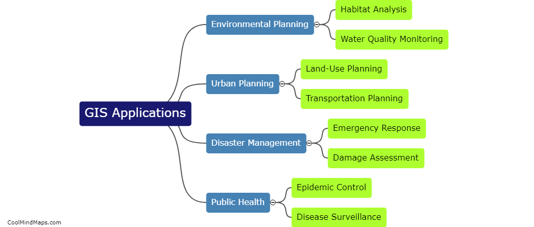
This mind map was published on 20 May 2023 and has been viewed 117 times.

