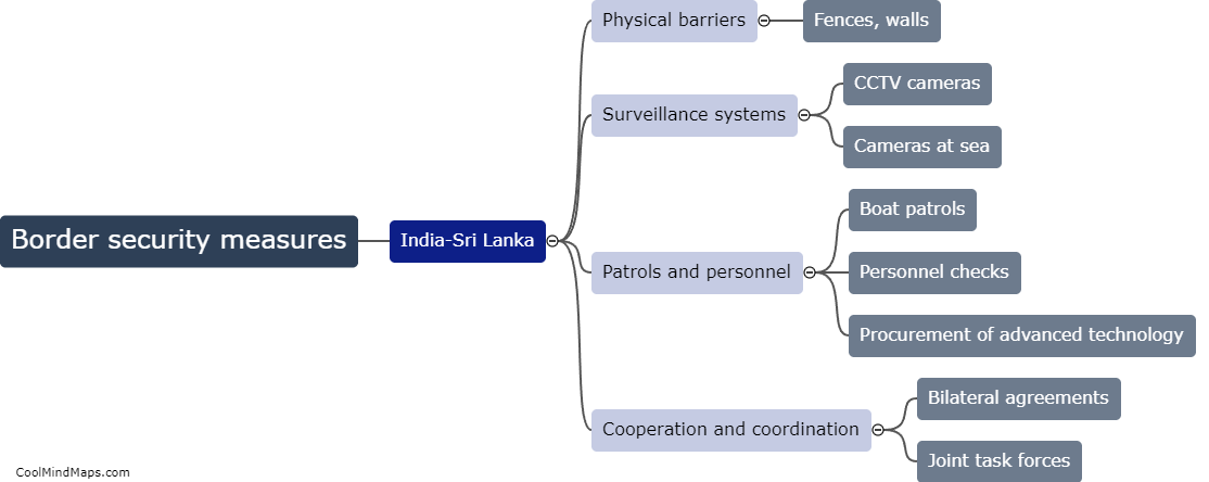
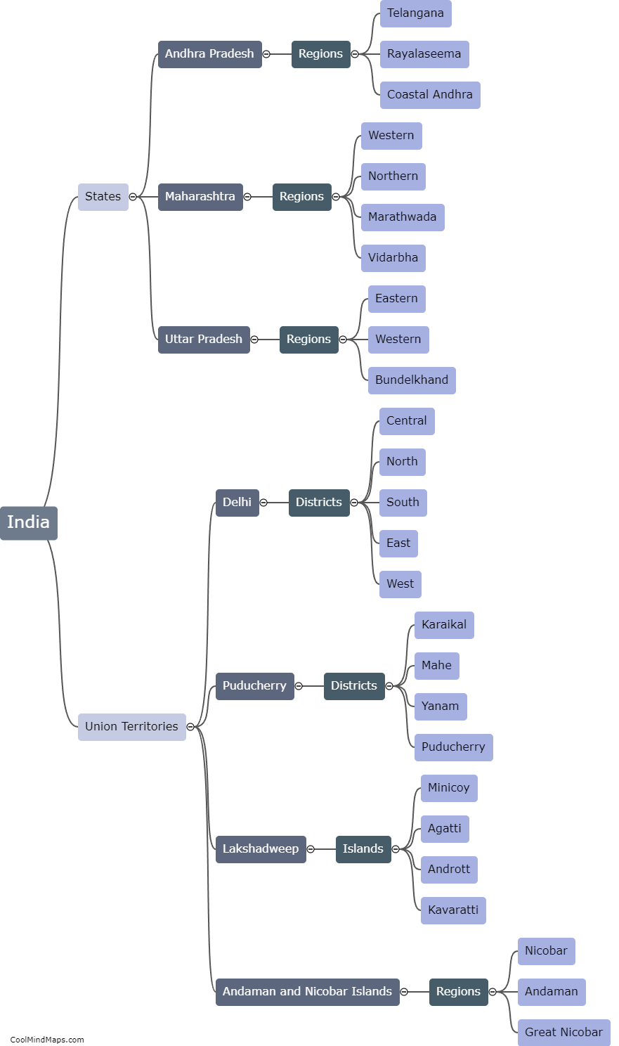
How are political boundaries determined in India?
Political boundaries in India are primarily determined through a systematic and structured process that involves various factors. The process typically starts with historical records, treaties, and agreements that have shaped the regional landscape over the years. Additionally, geographical features such as rivers, mountains, and natural boundaries play a significant role in delineating boundaries. The Indian government also appoints expert committees and commissions to review and resolve border disputes between states. This involves consultations, negotiations, and sometimes legal interventions to arrive at a consensus. The final determination of political boundaries in India is crucial for the effective governance, administration, and allocation of resources within the country.

This mind map was published on 6 February 2024 and has been viewed 52 times.