What are the geographical features of Chotanagpur plateau?
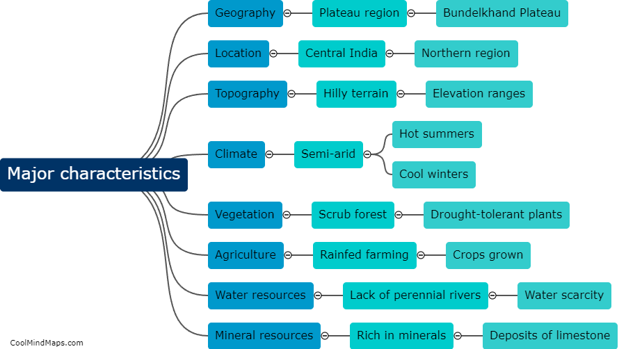
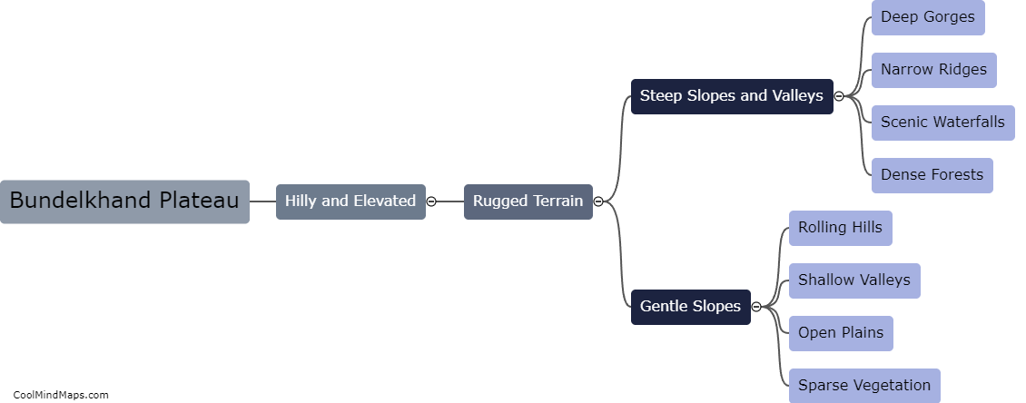
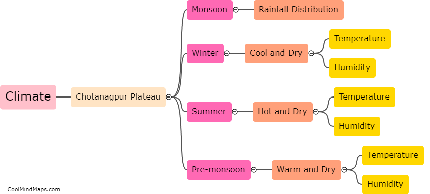
The Chotanagpur plateau is a vast plateau located in central India, covering parts of the states of Jharkhand, Bihar, Chhattisgarh, and Odisha. It is known for its unique geographical features. The plateau is predominantly characterized by rolling hills, densely forested areas, and scattered peaks, giving it a picturesque landscape. It is also rich in mineral resources, such as coal, iron ore, and mica, making it an important mining region. The plateau is crisscrossed by several rivers, including the Damodar, Subarnarekha, and Mahanadi, which have carved out deep valleys, creating a diverse and vibrant ecosystem. Additionally, the region experiences a moderate climate, with hot summers and cool winters, and receives abundant rainfall during the monsoon season. Overall, the geographical features of the Chotanagpur plateau contribute to its natural beauty, resource abundance, and agricultural fertility.

This mind map was published on 1 February 2024 and has been viewed 223 times.