What is geospatial analysis?
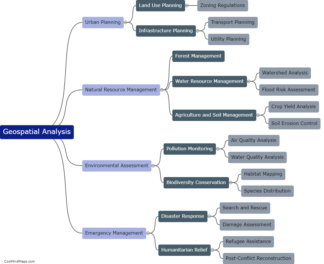
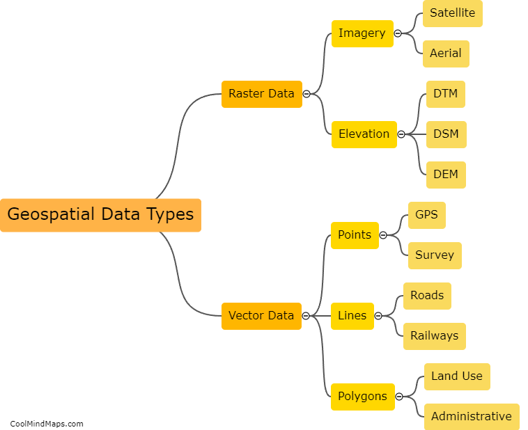
Geospatial analysis is the process of analyzing and interpreting data that has a geographical component. This type of analysis provides a way to visualize and understand complex data sets by studying their spatial relationships. Geospatial analysis can be used for a variety of purposes, such as tracking the spread of diseases, identifying areas prone to natural disasters, evaluating the impact of infrastructure projects, and more. It involves the use of tools and technologies like geographic information system (GIS) software and remote sensing to collect and analyze data about locations. Geospatial analysis is becoming increasingly important in a wide range of fields, including environmental science, urban planning, and business intelligence.

This mind map was published on 19 May 2023 and has been viewed 126 times.